
Joseph | Klamath Falls | La Pine | Lincoln City | Manzanita | Medford | Newport | Portland | Port Orford | Rockaway | Roseburg | Salem | Seaside | Sisters | Yachats | ALL ...
| HOTELS | VACATION RENTALS | RV PARKS | B & B'S | RESORTS | WEATHER | ROAD CAMS | MAPS | KAYAKING | WINERIES | RAFTING | LIGHTHOUSES |
| Mount St. Helens |
|
Mount St. Helens VolcanoCam |
|
|
|
| Newsletter Signup: |
| ||||||||||||||||||||||||||||||||||||||||||||||
|
| ||||||||||||||||||||||||||||||||||||||||||||||
|


 |
 |

|
 |

|
 |
 |
 |

|

|

|

|
 |
 |
 |
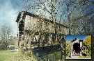
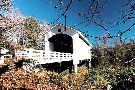
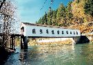
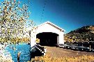
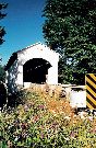
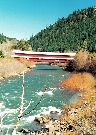
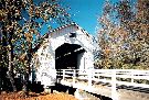
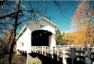
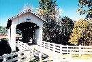
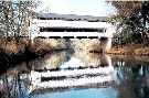
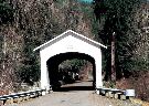
| COVERED BRIDGES |
| EASTERN OREGON |
| MAPS & DIRECTIONS |
| OREGON ZIP CODES |